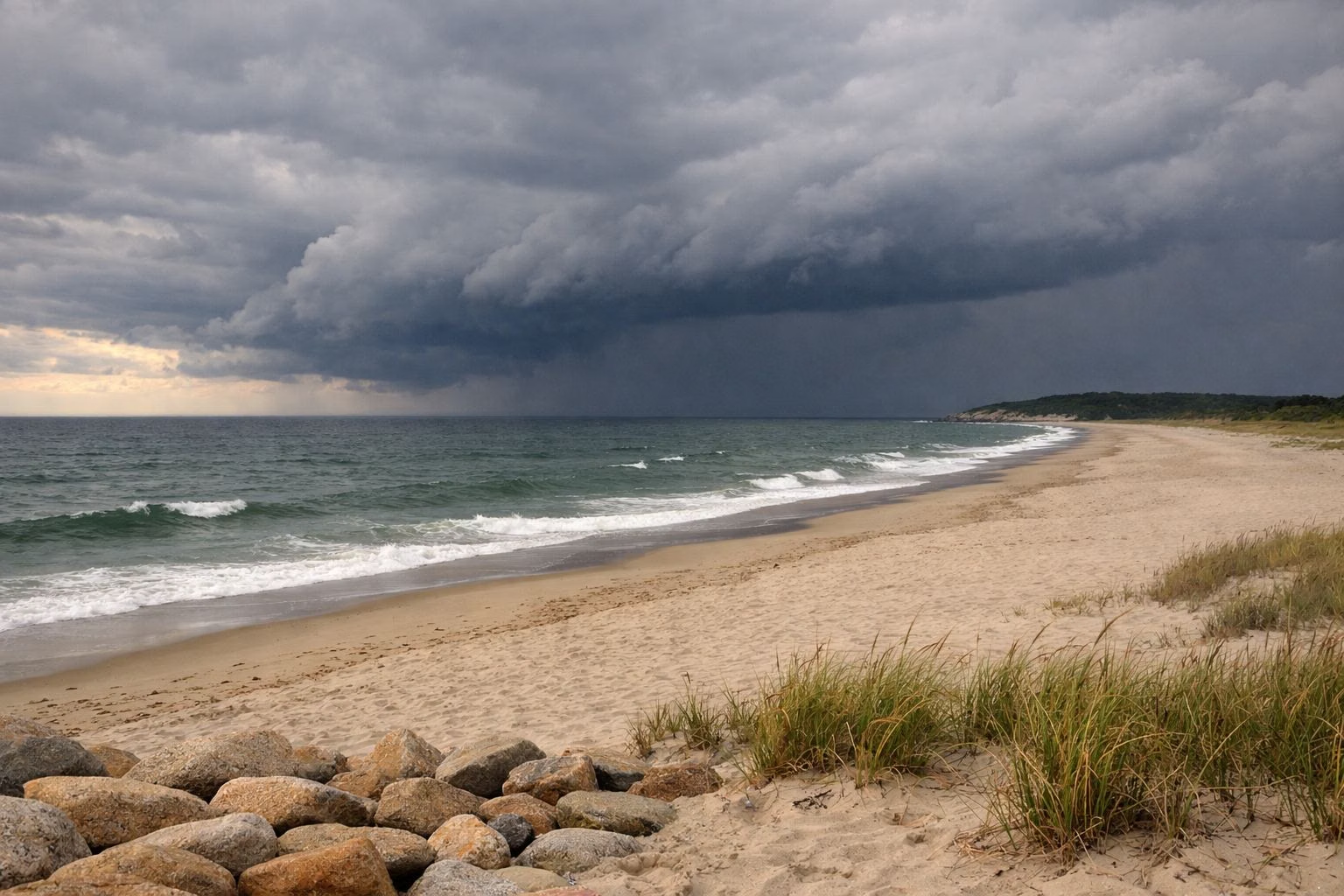
Nantasket Beach Weather
For the Nantasket Beach forecast, use the National Weather Service forecast for Hull, MA. Summers here are warm, not hot: NOAA's 30-year normal high at nearby Boston Logan is about 82°F in July and 80°F in August. To see the beach right now, a live surf cam points at Nantasket from Hull.
Average Highs and Lows, May to September
NOAA 1991–2020 climate normals for Boston Logan, the nearest long-record station. Rounded to the nearest degree.
Today's Forecast
The National Weather Service office in Boston/Norton covers Hull. Its point forecast for the beach gives a seven-day forecast with temperature, wind, rain chances and any warnings, plus an hourly graph. It's free and comes straight from the forecasters.
Nantasket Beach Webcams
Northeast Surfing runs a live surf camera in Hull that looks out over Nantasket Beach. Its page shows the current image plus time-lapses of the past several weeks, which is handy for checking crowds, waves and fog before you leave.
For more views, HullNext keeps a list of webcams around town. It includes the same Nantasket cam, a harbor camera at the Hull Yacht Club, and four National Park Service cameras on Boston Light, out on Little Brewster Island. The one looking south points back toward Hull.
These cameras are run by private groups and the park service, not by DCR or by us. They can go offline without notice.
Typical Summer Weather
NOAA's 1991 to 2020 climate normals for Boston Logan, across the harbor, are the best long-term guide. July is the warmest month, with an average high of 82°F and low of 66°F. August is close behind. June and September are milder, with highs in the mid 70s.
Rain is spread evenly through the summer, about 3.2 to 3.9 inches a month, so there's no dry season to aim for. Logan isn't Hull, so treat these numbers as a guide to the season, not a forecast for the beach.
The water stays well below the air. It averages about 66°F in July and 67°F in August; our Water Temperature page has the month-by-month numbers.
Storms, Surf and Rip Currents
Big storms offshore can make the surf dangerous even on a sunny day. When Hurricane Erin passed in August 2025, the state warned that many DCR beaches were in the Weather Service's high-risk zone for rip currents. Double red flags on a DCR beach mean it's closed to swimming.
- Lightning: DCR says don't swim during a storm or lightning. Get out of the water and off the beach.
- Rip currents: DCR's advice is that if one pulls you away from shore, swim parallel to the beach until you're out of it, then angle back in.
- Heat: the state Department of Public Health asks beachgoers to follow its Unhealthy Heat Forecast, drink water and take breaks from the sun.
- Rain: heavy rain can raise bacteria levels in the water. Our Water Quality page explains when to wait.
Check the tide too. At high tide much of the beach is under water, which matters more than the forecast for how much sand you'll get. Our Tides page shows where to find the day's times.
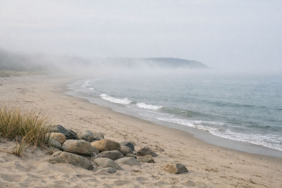
Beach Weather Through the Seasons
Nantasket Weather FAQ
What is the weather at Nantasket Beach today?
Check the National Weather Service forecast for Hull, MA. It gives a seven-day forecast for the beach with temperature, wind and rain chances, plus an hourly graph.
Is there a webcam at Nantasket Beach?
Yes. Northeast Surfing runs a live surf cam in Hull that looks over Nantasket Beach, with recent time-lapses. HullNext lists it with other Hull-area cameras.
How hot does it get at Nantasket Beach in summer?
NOAA's normal high at nearby Boston Logan is about 82°F in July and 80°F in August, with lows in the mid 60s. Logan isn't Hull, so check the forecast for the day you go.
What does a double red flag mean at Nantasket?
On DCR beaches, double red flags mean the beach is closed to swimming for safety, as during the rough surf from Hurricane Erin in August 2025.